Implementations Based on Development Plan
1 / 25.000, 1 / 10.000, 1 / 5.000 and 1 / 1.000 scaled maps for the preparation of the underground research projects for the revision of the zoning plan on the basis of province, district, neighborhood, island and parcel
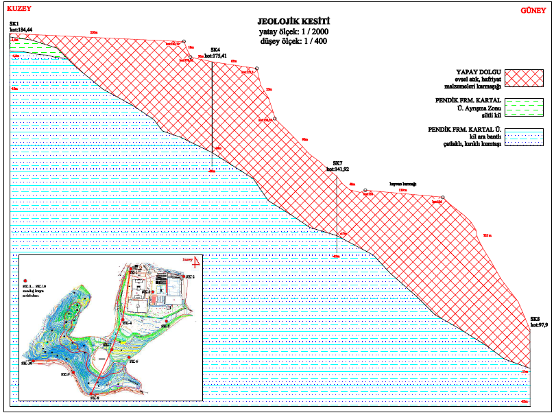
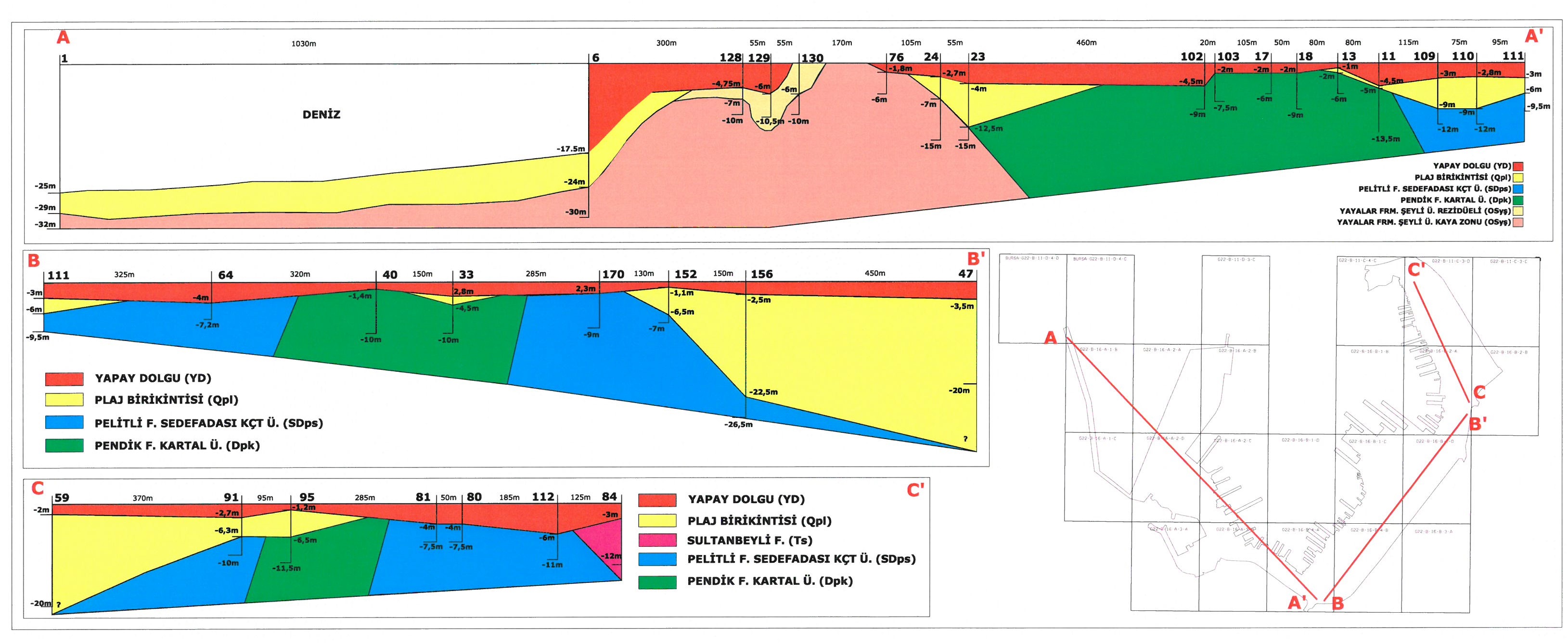
- Creation of geological map and sections
- Stratigraphy determination
- Determination of structural elements such as fault, fold, nonconformity
- Determination of small scale stratified structures
- Determination of active fault zones
- Creation of hydrogeological maps and sections
- Determination of physical properties of aquifers
- Determination of groundwater levels and flow directions
- Determination of seasonal changes
- Determination of feeding and discharge areas of water areas
- Creation of Engineering Geology maps and sections
- Floor maps of certain depths (Vp, Vs, resistivity, etc.)
- Basic rock depth map
- Groundwater depth map
- Settlement suitability maps